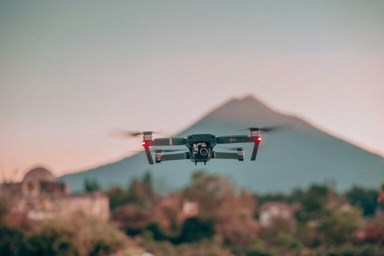
Drones have developed past recreational applications to serve as fundamental devices throughout various industrial fields. The adoption of drone technology has yielded substantial advantages to environmental monitoring industries. The worsening environmental concerns have made it vital to develop precise and timely data acquisition systems. The innovative drone technology delivers new approaches which improve environmental observation systems and resulting monitoring capabilities and response methods.
Increasing Data Accuracy
Environmental data collection using the traditional methods still depends on personnel observations from the ground and images obtained from satellites. The benefits of these methods exist although physical barriers to certain locations and dara fuzziness act as limiting factors. The system of drones provides solutions which address these obstacles with more precise and detailed information. Research teams can achieve precise geographical analysis of landscapes and vegetation and wildlife measurements through drone technology with its advanced camera systems and sensor functionalities.
The operational practice of drones lowers the frequency of mistakes which humans could make through their work. Humans who gather field data might generate incomplete or inconsistent information because of environmental aspects and physical restrictions. Drones are capable of working in difficult environments to deliver steady data acquisition regardless of any weather or geography limitations. Environmental research quality improves because drones deliver dependable and accurate information to investigators.
Efficient Data Collection
Environmental data collection activities conducted by hand prove to be both resource-intensive and time-consuming and expensive. The implementation of drones enables quicker information collection operations and leads to reductions in staffing expenditure. The aerial videography capabilities of drones allow scientists to monitor extensive areas more productively than traditional ground surveys because drones boost operational efficiency.
Additionally drones simplify the process of carrying out repeated measurements needed for tracking purposes. The systematic drone deploy pattern allows researchers to track environmental patterns while detecting early ecological disturbances so they can make better decisions. Advanced monitoring requires this extent of observation because it allows scientists to track how climate change and deforestation and environmental problems affect ecosystems.
Reaching Inaccessible Areas
The use of traditional monitoring methods proves ineffective for accessing regions which exist in remote or dangerous locations. Researchers confront major hurdles while studying regions with dense forests combined with mountainous regions and beach areas which are unstable. The personnel-friendly drones execute their operations through difficult-to-reach areas to extract valuable scientific information.
The unmanned aerial vehicles are designed to work in locations where natural disasters such as floods or wildfires or hurricanes take place. The situation enables drones to detect damage while observing environmental rehabilitation and delivering assessments regarding disaster’s long-term effects on affected areas. The capability to explore and observe important locations gives scientists expanded possibilities for environmental studies together with better abilities to execute disaster response initiatives.
Enhancing Wildlife Monitoring
Understanding ecosystem health together with biodiversity requires continuous observation of wildlife populations. The adoption of traditional observation techniques along with fixed cameras often produces two undesirable consequences: it disturbs ecosystem inhabitants and produces limited overall data results. Drones function with thermal imaging and sharp cameras to provide researchers with silent wildlife observation and disturbance-free data collection.
The non-invasive method provides scientists better means to study wildlife behaviors together with movement patterns and population characteristics. The usage of drones allows scientists to conduct wildlife monitoring with minimal human contact thus achieving better results in habitat preservation.
Modern environmental surveillance and data acquisition processes extensively rely on drone technology. Environmental researchers along with conservationists value drones because they deliver precise data and reach remote locations while being efficient in their operations and maintaining minimal environmental disruptions. The advancing drone technology will increase its environmental monitoring capacity thus advancing effective environmental management methods.